Working in tandem with its twin satellite SPOT-6, SPOT-7 increased revisit rates while maintaining the Earth observation imaging capabilities and offerings of the SPOT Programme. Funded by Airbus Space & Defense, SPOT-7 was sold to Azerbaijan's space agency , Azercosmos, which renamed it Azersky.
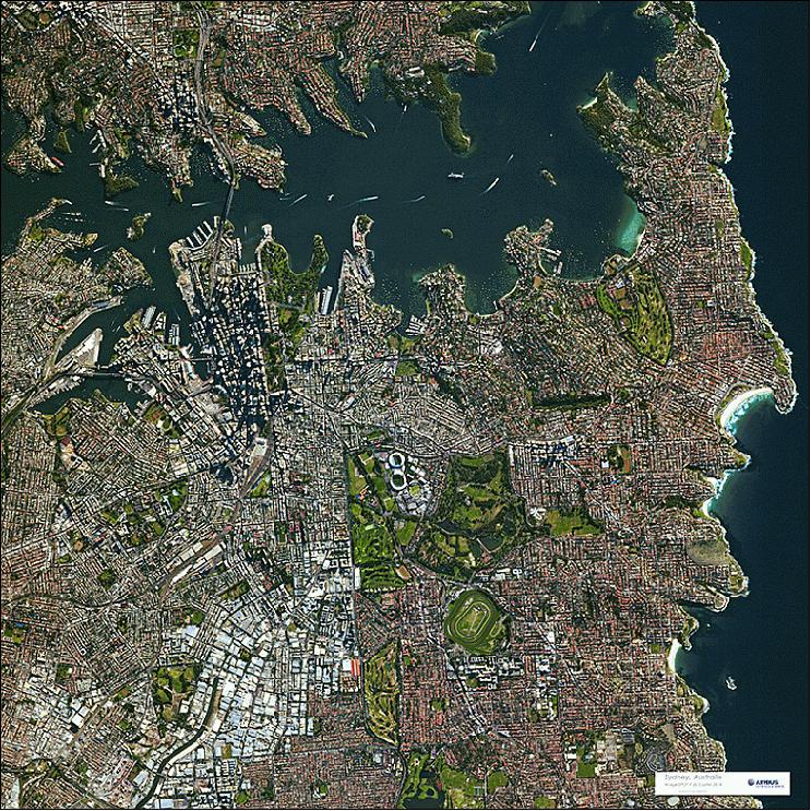 SPOT-7 image of Sydney, Australia, acquired on July 3, 2014. Credit: Airbus Defence and Space
Since 1986, the SPOT satellite constellation has imaged more than 100 billion square kilometres of Earth, creating a data-rich archive of more than 30 million scenes. Despite the longevity of its predecessors—SPOT-2 operated for over 19 years—the focus of the SPOT missions remained on discovering more about the Earth’s climate and monitoring natural resources. This required new equipment with updated technology.
Developed entirely with private funds from Astrium Services – now Airbus Defense and Space– SPOT 6 and 7 balanced the need for collecting images of large areas as well as individual targets, with the capacity for each satellite to image 3 million km2 of the Earth per day. Furthermore, both were designed to work in tandem with the very high-resolution Pléiades satellites. All three satellites maintained the same orbit, making it possible to revisit any point on Earth intraday and to have image availability within hours. A larger fleet of satellites maximises the number of successful acquisitions by minimising conflicts and enabling automatic, rapid reaction to changing conditions and weather – including natural disasters.
Credit: Airbus Defence and Space
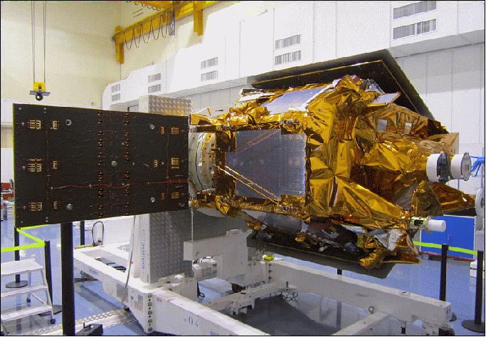
As an identical twin to SPOT-6, SPOT-7’s design drew upon the decades of technology developed for SPOT 1-5 and Pléiades: a twin satellite constellation run by CNES and designed to advance the mission of the SPOT programme.
Like SPOT-6, SPOT-7 is equipped with two identical New Astrosat Optical Modular Imager (NAOMI) instruments designed to gather data on the Earth’s surface albedo and reflectance, vegetation, and land surfaces. Each pushbroom imaging system can capture 1.5 m resolution images with five spectral bands: panchromatic, near-infrared (NIR), blue, red, and green. For continuity, images produced by SPOT-6 had to maintain compatibility with SPOT 1-5 with the same 60 km wide imaging swath. The twin instruments can operate simultaneously or individually.
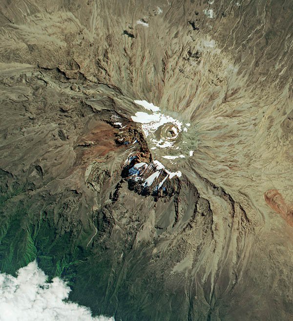
This SPOT-7 satellite image depicts Mount Kilimanjaro a dormant volcanic mountain in Tanzania. It is the highest mountain in Africa and the highest free-standing mountain in the world. Credit: Satellite Imaging Corporation
SPOT-7 is a part of the MARS-CAP campaigns that involve mapping agricultural land throughout Europe to verify declarations relating to cultivated land areas and fallow land submitted by farmers. The European subsidies granted to farmers are based on these declarations and their verification.
ESA offers access to the full SPOT archive for scientific research and application development.
In December 2014, SPOT-7 was sold to Azerbaijan's space agency Azercosmos, who renamed it Azersky.
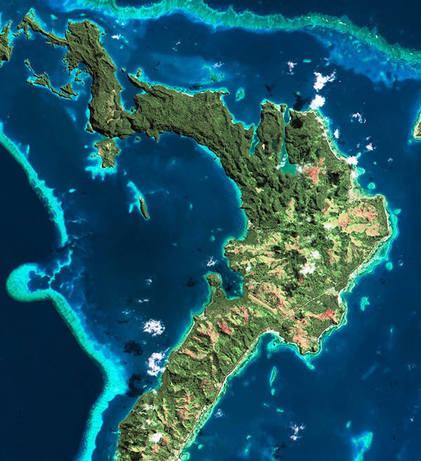
SPOT-7 satellite image of Fiji in the South Pacific Ocean about 1,100 nautical miles northeast of New Zealand's North Island. Credit: Satellite Imaging Corporation
Banner Image: SPOT-7 satellite image of Port Isabel, Texas used to monitor and manage coastal areas. Credit: Satellite Imaging Corporation

